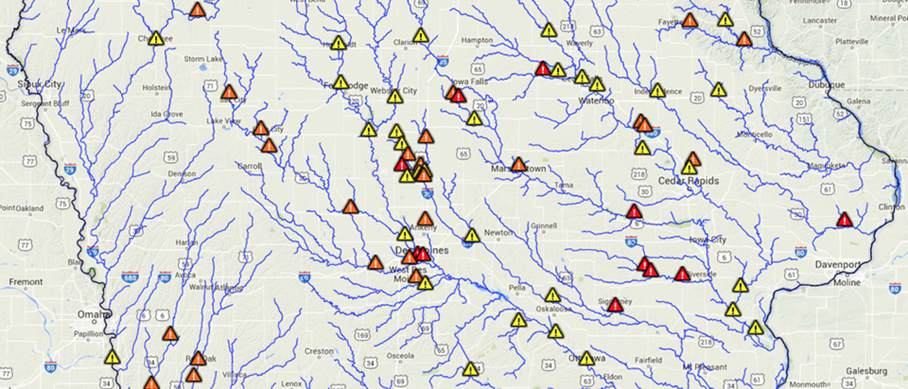
December rains are causing trepidation across Iowa.
Temperatures far above seasonal averages and a heavy dose of rainfall have inundated the state with water, at a time of year when the extra moisture yields more runoff than usual. Since this weekend, about 100 flood warnings have been issued across Iowa as creeks, streams, and rivers swell from persistent rains.
The Iowa Flood Center at the University of Iowa has created a free, online tool where residents and city planners in 19 communities can see river levels and flooded areas—street to street, neighborhood to neighborhood—all in real time. The maps allow residents and city planners to view various flood scenarios to help prepare for flood emergencies and make informed decisions.
The tool is called the Iowa Flood Information System, or IFIS, and can be accessed at ifis.iowafloodcenter.org/ifis/main.
IFIS is currently in these communities:
Ames, Cedar Rapids, Charles City, Columbus Junction, Des Moines, Elkader, Hills, Humboldt, Independence, Iowa City, Kalona, Maquoketa, Mason City, Ottumwa, Rock Rapids, Rock Valley, Spencer, Waterloo, and Waverly.
Simply click on a town and see how current river levels are affecting a neighborhood, street, or local park through these options:
- Select “flood map scenarios for Iowa.”
- Select a community and click “load flood maps.”
- View the effect of water-level rise from more rain by clicking on "river stage" (slide tab left or right).
The flooding is occurring, because Mother Nature doesn’t have her usual, natural ways to absorb the rains.
“The air, while unseasonably warm, is too cold to accommodate a lot of water evaporating from the ground,” says Witold Krajewski, Iowa Flood Center director. “The ground is saturated, and the plants are dormant and do not help transferring water to the atmosphere, so there’s just no place for water to go except to streams and rivers.”
