The 50th edition of RAGBRAI—the Register’s Annual Great Bike Ride Across Iowa—will stop overnight in Coralville on Friday, July 28. To accommodate the event expected to bring more than 20,000 people to the community, several streets will be closed and increased bicycle and pedestrian traffic will cause delays in the Coralville and Iowa City areas.
Here’s what to prepare for:
Friday, July 28
The RAGBRAI route (see this map) will leave Oxford traveling south on Black Hawk Avenue Southwest until reaching the intersection with IWV Road. The route then travels east along IWV Road to the Iowa City city limits, where it will travel north on Camp Cardinal Boulevard, cross Highway 6 to 22nd Avenue in Coralville, then travel east on Fifth Street until reaching S.T. Morrison Park.
Expect significant delays along Highway 6/Coralville Strip beginning about noon Friday as traffic will halt intermittently to allow cyclists to cross.
Most RAGBRAI events will take place in the area of S.T. Morrison Park. The following Coralville streets will be closed from 6 a.m. Friday, July 28, until 9 a.m. Saturday, July 29:
- 14th Avenue from Seventh Street to 10th Street
- Eighth Street from 14th Avenue to 18th Avenue
- Seventh Avenue from Fifth Street to 14th Avenue (including City Hall and Aquatic Center parking lots)
- University Court from Ridgeway Drive to University Parkway
More traffic information and maps for the city of Coralville can be found here.
For more information about the RAGBRAI entertainment in Coralville, click here.
Saturday, July 29
The RAGBRAI route (see this map) will leave Coralville traveling east along Fifth Street.
- At the intersection of Fifth Street and First Avenue, the route travels south on First Avenue until the intersection with Highway 6, where it travels east until the intersection with Hawkins Drive.
- Riders will travel along Hawkins Drive, around the University of Iowa’s Duane Banks Baseball Stadium, along the north side of Kinnick Stadium, and return to Hawkins Drive.
- Riders briefly will travel west on Hawkins to Elliott Drive, north to Newton Road, then follow Newton Road across Highway 6 and the Iowa River, where the street turns into Iowa Avenue.
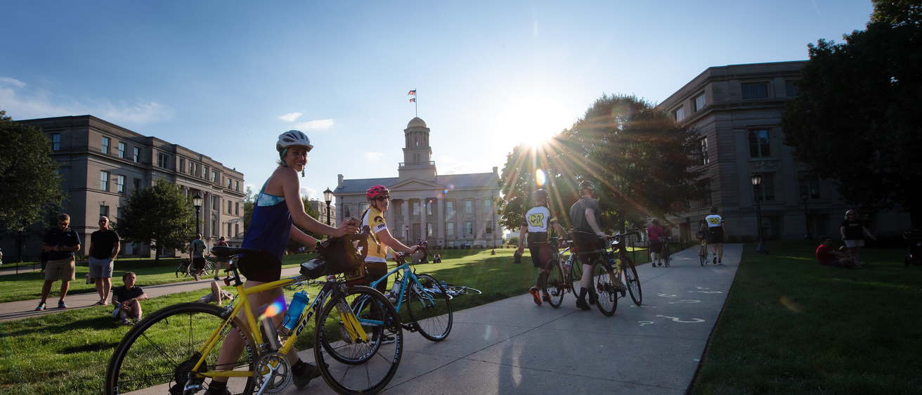
- On Iowa Avenue, the route travels east, then around the Pentacrest on Madison, Jefferson, and Clinton streets, continuing east on Iowa Avenue until the intersection with Muscatine Avenue.
- The route will follow Muscatine Avenue southeast and east until the intersection with Scott Boulevard, where the road becomes American Legion Road.
- The route continues on American Legion Road to Highway 6, where it proceeds to West Liberty.
See this map for downtown Iowa City street closures.
More information from the city of Iowa City can be found here.