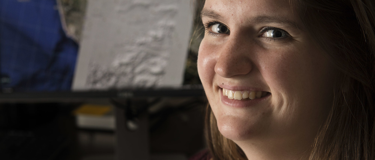
Terryl Bandy has loved geology since she was a child. Now, she’s putting that passion into practice by creating detailed topographic maps of one of the most earthquake-prone regions on the planet.
Since June, Bandy, a fifth-year senior and geosciences major at the University of Iowa, has been creating topographic maps of major fault zones in California. The maps, showing elevation differences in high definition, are designed to help the scientific community learn more about fault zones in Southern California. They’ll also be available to emergency responders and other agencies to assess the damage from an earthquake, from buildings affected to changes in the terrain.
Bandy will present her research at the Geological Society of America meeting that begins on Sept. 25 in Denver.
“By presenting at a national meeting like GSA, Terryl will have a forum to share her science and explain its importance to much of the geological field, not just her peers at the University of Iowa,” says Bill Barnhart, assistant professor in the Department of Earth and Environmental Sciences at the UI and Bandy’s mentor on the project. “Presenting as an undergraduate is a fantastic achievement and is a testament to the sweat she’s put into her research in my and others’ labs.”
Bandy developed her love for geology early on. She remembers hunting for—and finding—marine fossils in the sandstone driveway of her childhood home in Oxford, Iowa. Her father, a former eighth-grade science teacher, would take her to visit the rock-laden classroom of Pat Whitnock, then a teacher at Northwest Junior High in Iowa City.
“I came into the office early on a Saturday morning following the Oklahoma earthquake and found Terryl in the lab processing away."
“She’d take us back to the storage area and have us name the rocks,” Bandy recalls with a smile. “There was shiny stuff and little things I’d pick up and look at. It was fun, and I’ve kept up with it since.”
Since her second year at the UI, Bandy has been involved in research in the Department of Earth and Environmental Sciences. She first started working with assistant professor Brad Cramer and joined Barnhart last year after attending a departmental seminar on producing high-resolution topographical maps in the Arctic.
“She approached me with interest in working on a similar topic,” Barnhart says, “so we crafted a proposal to the Southern California Earthquake Center (SCEC) to produce high-resolution digital elevation maps of active faults, like the San Andreas Fault in Southern California.”
Bandy was interested in more than just the geology. She’s also completing a mathematics minor and was intrigued by the programming needed to produce the maps, which use satellite imagery so refined that individual cars can be clearly seen.
With funding from the UI’s Iowa Center for Research by Undergraduates, Bandy worked as many as 20 hours a week during the summer to produce digital elevation models of the Ventura Fault region, which recently has been recognized as a potential seismic and tsunami hazard in Southern California.
“To me, it was amazing,” Bandy says of the work. “You could find fault planes that had been mapped, but you couldn’t see the topographical images very well. (Now) you can see landslides, and how they’re fanning out.”
Her work ethic was noticed.
“I came into the office early on a Saturday morning following the Oklahoma earthquake (on Sept. 4) and found Terryl in the lab processing away,” Barnhart says. “That sort of dedication to research is critical to making research successful, and it should serve as an example to other students, both undergraduate and graduate.”
The payoff, in part, will come at the GSA meeting, where Bandy will display a poster explaining her California mapping project. She also will give a talk about her senior thesis project analyzing the chemical composition of deposits from the Silurian Era more than 400 million years ago.
“It’s a completely different area than what I’ve done before,” Bandy says of the mapping work. “It’s really cool to be able to actually produce these images.”
