Many years ago, Old Gold’s grandfather received an unusual gift from a friend: a 1910 bird’s-eye view of the north end of Charles City, his (and Old Gold’s) hometown and, at the time, a budding and bustling industrial hub. Grandfather McCartney—we all called him Mac, even us grandkids—actually grew up in Galena, Kansas, but moved north to Iowa with his bride around 1922, at age 30. Years later, he joked that they were looking for a warmer place to live.
In fact, Mac and Helen were, like many Americans, looking for a better life. A baker by trade, Mac opened a shop in Sheffield, then operated City Bakery on Charles City’s Main Street for a few years. In 1934, at the height of the Great Depression, he switched careers, joining the Charles City Police Department as a patrol officer. He later became a Floyd County sheriff’s deputy and served one term as sheriff before retiring in 1960.
Mac loved his adopted home town, and he loved fishing and taking photographs. Inevitably, Old Gold’s family has a pretty decent stash of images of early to mid-20th-century Charles City, including some Cedar River scenes. The 1910 aerial photo is a favorite of Old Gold’s. It’s also a bit unsettling. Nearly all of the buildings in the image are gone today, either lost to a 1968 tornado when Old Gold was 12, a tractor manufacturing plant closure in 1993, or other forces of changing times. The street grid remains, however, as do many of the railroad tracks. Old Gold speculates that the photo was taken from a nearby water tower, also long gone.
The streets and tracks provide a kind of detective’s framework when comparing the landscape of 1910 with that of over a century later. The dormitory that housed Serbian immigrant workers has disappeared, but Grand Avenue, Lane Street, and the east-west avenues numbered 9 through 13 remain.
Recently, the Iowa Department of Natural Resources launched a website featuring historical aerial photos from across the state, dating back to 1930. Click on “Historic Photo Interactive Mapping Site” and choose from the Basemaps drop-down menu. The site includes recent aerial images as well, enabling users to compare changes over time.
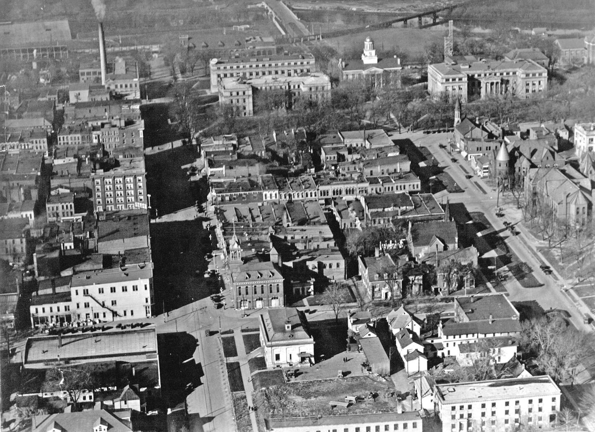
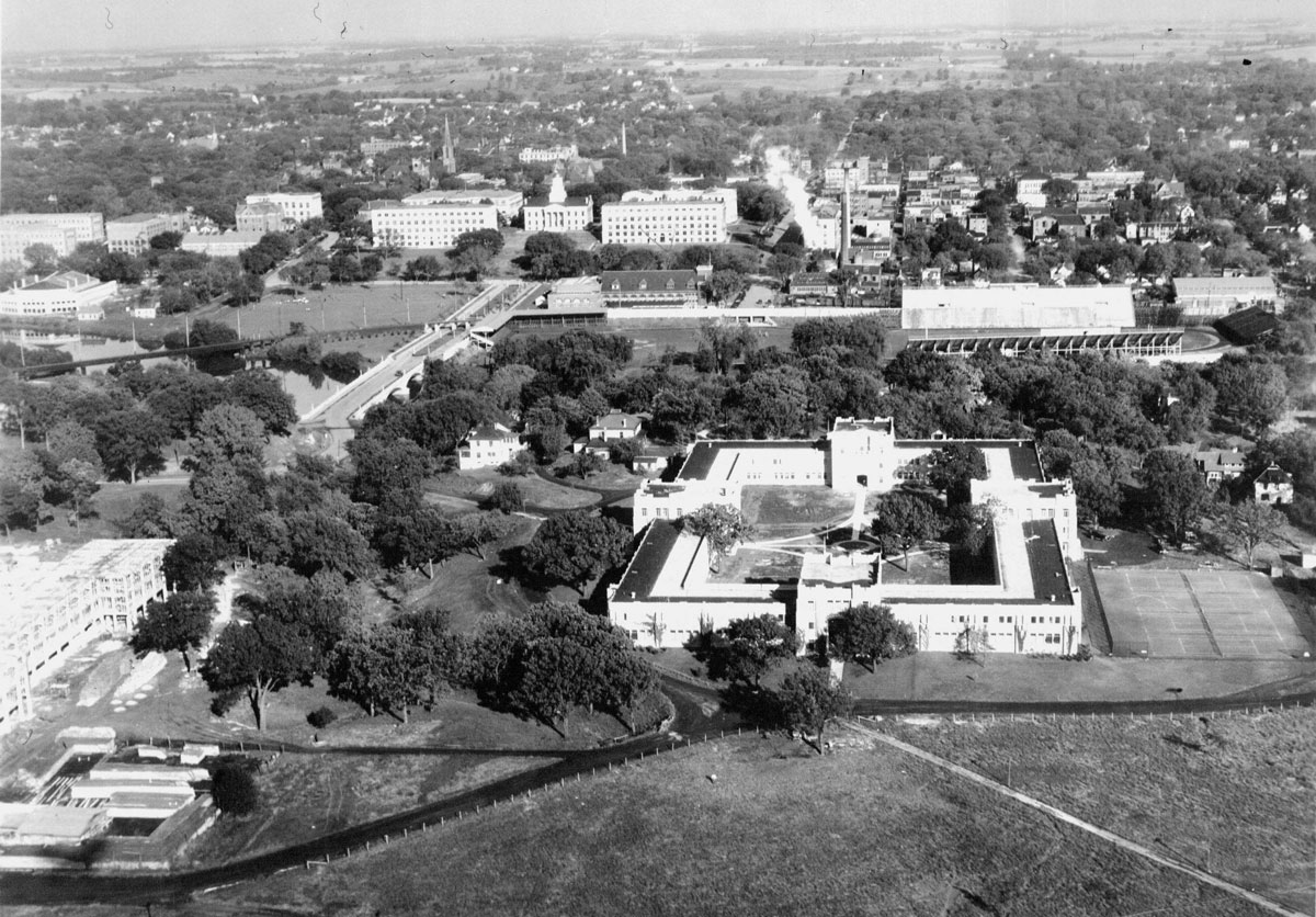
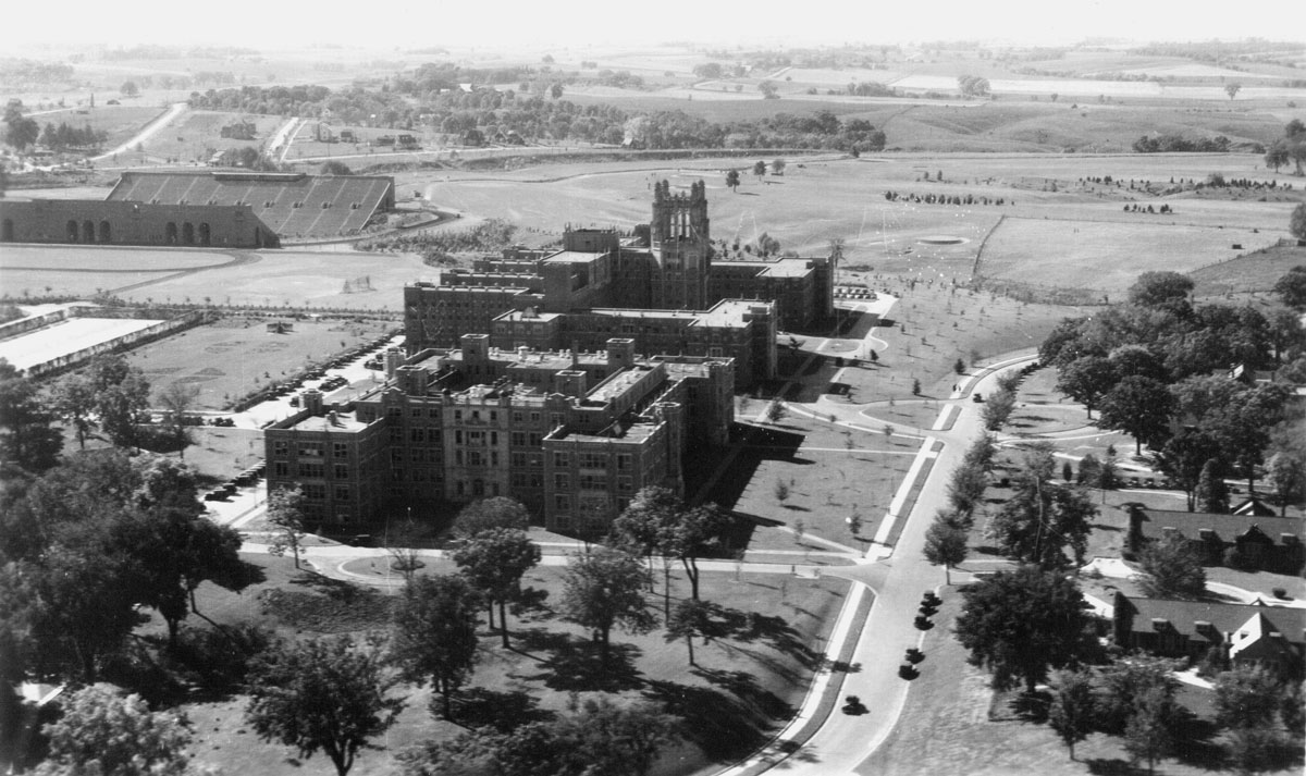
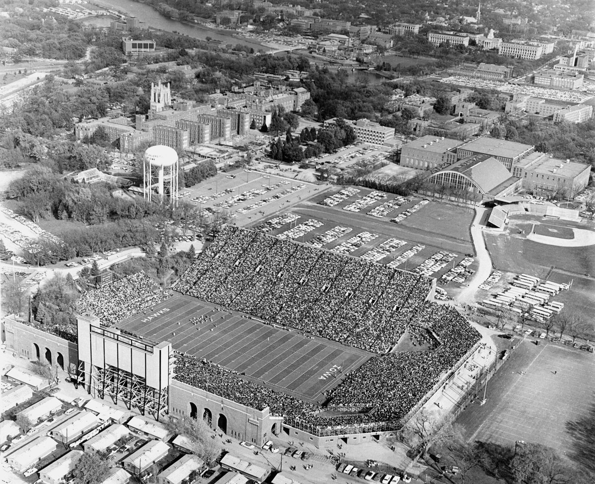
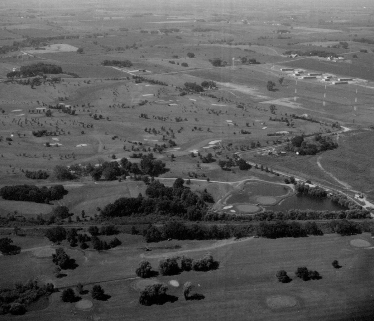
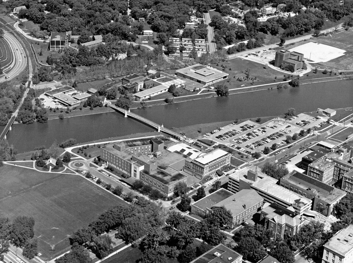
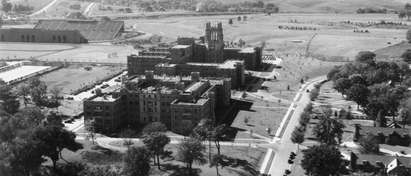
In the Iowa Digital Library, the Iowa City Town and Campus Scenes collection hosts nearly 200 aerial images of the UI campus, spanning about 1920 to 1970. Enter the word “aerial” in the search box to access them. Early still images depict the western side of the campus as it developed in the 1920s, for example.
Pair the images with historic campus maps online at digital.lib.uiowa.edu/cdm/search/collection/ucm and you’ve got yourself the necessary tools to reconstruct a certain time and place. Mac would have loved it.
Read more Old Gold columns.