Featured headlines
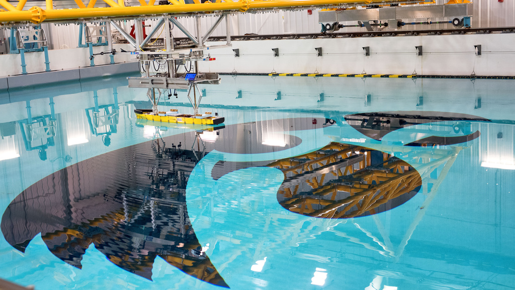
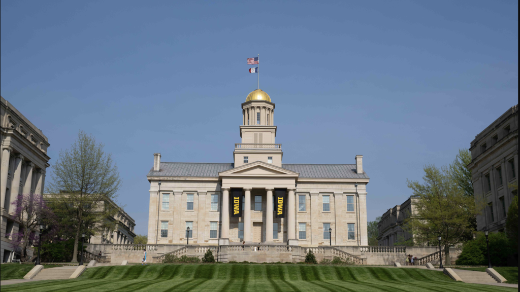
UI seeks permission to plan new hydroscience research building to grow program
Monday, April 15, 2024
The University of Iowa College of Engineering’s IIHR—Hydroscience & Engineering is a world-renowned program, and a proposed facility expansion would keep Iowa at the forefront of fluids-related research.
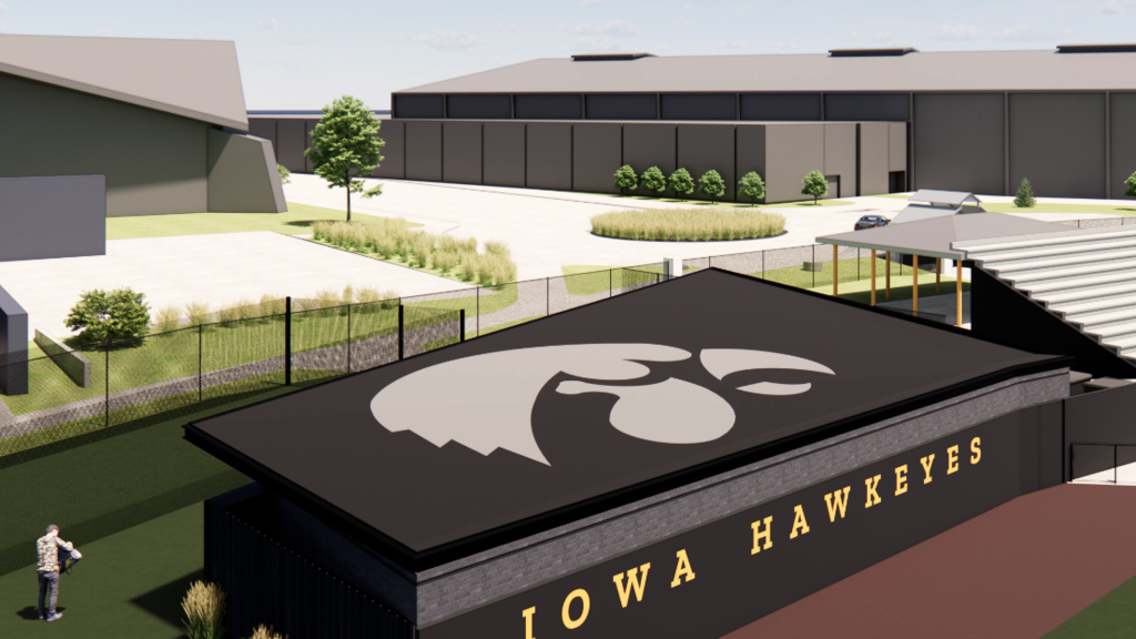
Clubhouse headlines proposal to renovate Duane Banks Field
Monday, April 15, 2024
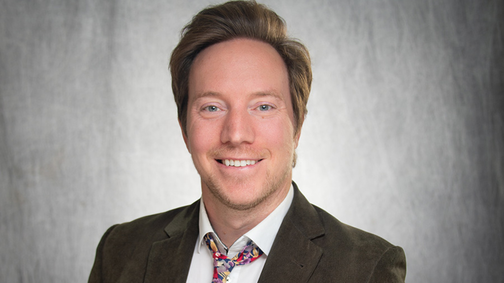
Third-year Iowa student named 2024 Truman Scholar
Friday, April 12, 2024
Researchers identify brain region involved in control of attention
Thursday, April 11, 2024
18 staff members honored with 2024 Staff Excellence Awards
Wednesday, April 10, 2024
Mid-Career Faculty Scholar Award continues to support professors
Wednesday, April 10, 2024
Events

News you can use
Eye safety: Viewing the April 8 solar eclipse
A solar eclipse is set to grace the skies of the United States on Monday, April 8. Watching a solar eclipse can be an extraordinary experience, but looking directly at the sun can seriously damage your eyes. Dr. Ian Han, ophthalmologist and retina specialist at the University of Iowa, shares these safety tips.
Westbound I-80 on-ramp at 242 to close for reconstruction
The on-ramp to westbound Interstate 80 will be closed from Tuesday, April 2, until mid-June.
Need activities for your kids this summer? Check out this list of local summer camps
We know finding enough activities to keep your kids busy during the summer can be challenging. We hope this list of local summer camps and other resources can help.
City to begin Dubuque Street Reconstruction Project on March 11
If you work, drive, or park in downtown Iowa City, be aware of a major street closure that is expected to last until at least late summer.
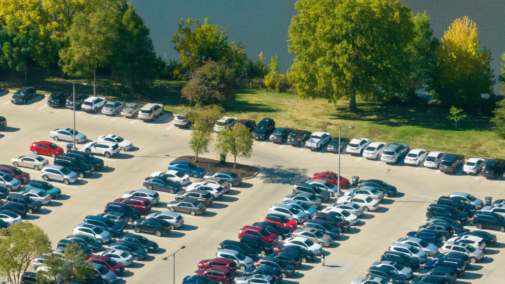
New rates proposed for UI parking permits beginning Aug. 1
To support the ongoing maintenance and improvement of parking facilities, University of Iowa Parking and Transportation is proposing modest rate increases for most parking permits beginning Aug. 1.


UI Spotlight
Carver College of Medicine celebrates excellence in research, scholarship, teaching, and service
Wednesday, April 10, 2024
Stanford elected supreme chapter president of Omicron Kappa Upsilon
Friday, March 22, 2024
Three CLAS faculty members receive humanities scholar awards
Wednesday, March 6, 2024
Achievements
Iowa Writers’ Workshop graduate among 2024 winners of Whiting Award
Wednesday, April 10, 2024
Jamieson named to CDC Advisory Committee on Immunization Practices
Monday, April 8, 2024
UI assistant professor earns National Science Foundation grant
Friday, March 29, 2024
In the News
How Exercise Strengthens Your Brain
Wednesday, April 10, 2024
Clarkonomics 101: The numbers behind Caitlin Clark's impact on women's basketball
Monday, March 25, 2024
'Martyr!' plays its subject for laughs but is also deadly serious
Friday, March 22, 2024
Share Your News
Do you have news to share from your college, department, or unit? Click the button and let us know.